
Tiger Mapping and Routing Server
Note: This project was built before Google Maps existed. Today there are other open-source mapping and routing projects available, such as OpenStreetMap and the tools built around it.
Tiger Mapping and Routing Server (TMRS) is being written in order to facilitate the creation of open source GPS navigation software. Its goal is to simplify street level routing and map drawing functions essential for developing user-friendly interfaces. The data used in this software is available freely from U.S. Census and is called 'Tiger'.
TMRS is written in C with no platform-specific dependencies. It should work on most POSIX-compliant operating systems even though the development will be done in Linux. Its design will be dictated by the resource constraints of embedded systems. It strives to achieve low storage and memory requirements.
There are two services that are provided by TMRS -
- Street Routing - in this function, the client provides a start and a destination address. The server computes the best path between the two points and returns driving directions.
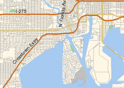
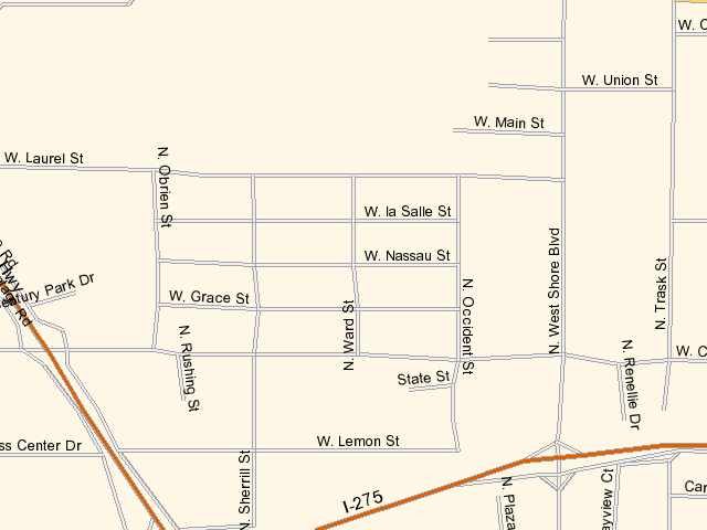
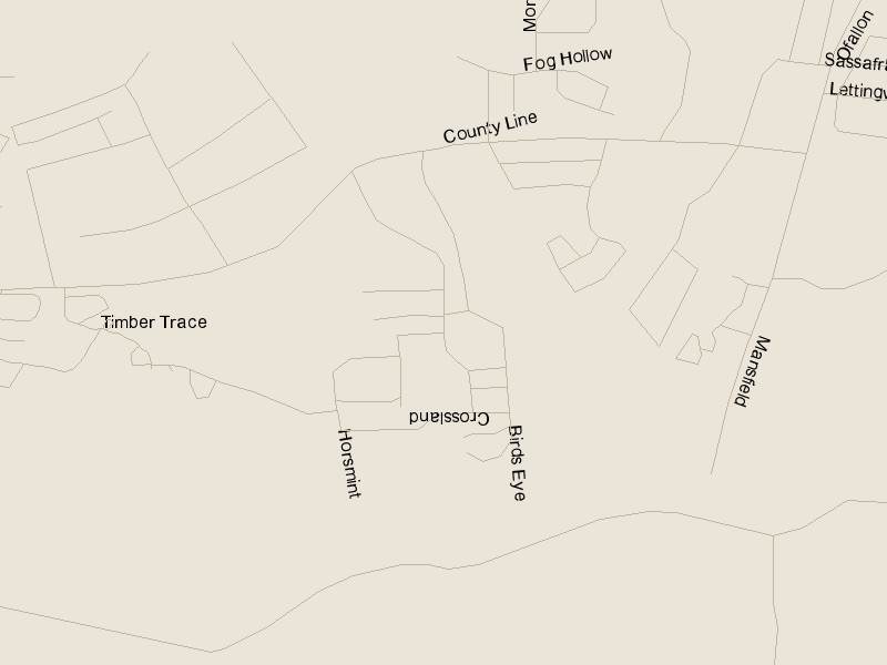
- Map Server - given a GPS coordinate and area in square miles, the server returns a bitmap that can be used by other applications for a visual display of the area. In addition to above, utility programs for converting Tiger, ESRI, GDT and Navteq data are being developed.
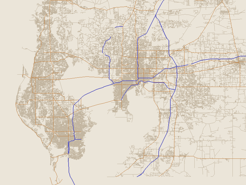
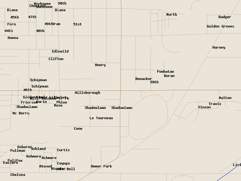
Screenshots
Download:
Latest Release: tmrs-0.2.0.tar.gz
The code now lives on GitHub (moved there in 2013):
git clone https://github.com/sumitbirla/tmrs.git
The original SourceForge project, where development was hosted via CVS, is still around for historical interest.
Sources of Data
- TIGER from U.S. Census Bureau
- The U.S. Census Bureau publishes TIGER data which stands for Topologically
Integrated Geographic Encoding and Referencing system. The data is divided
by county. So, each county consists of a set of data files, each one
containing a particular type of data. These files are not easy to parse, but are free.
Download: TIGER/Line Shapefiles at census.gov
- ESRI Shapefile
- ESRI is a company that deals with various types of GIS data. At the time, they offered Shapefiles converted from TIGER format at no cost. Shapefiles are significantly easier to parse and conform to a widely used standard. The Census Bureau now publishes TIGER data in Shapefile format directly (see link above), so the separate ESRI download no longer exists.
- Navteq
- This data is regarded as the most accurate for routing purposes. It contains information such a one-way streets, no-left-turn and Z-levels. Navteq has since been acquired and is now part of HERE Technologies.
- GDT
- GDT (Geographic Data Technology) was another company specializing in GIS data. It was acquired by Tele Atlas in 2004, which in turn is now part of TomTom.
- OpenStreetMap (added later)
- This project predates it, but today OpenStreetMap
is the go-to source of free worldwide map data for exactly this kind of work.
Download: planet.openstreetmap.org